Looks like it's in the comments here, from 2012:
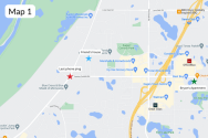
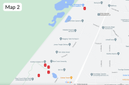
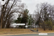
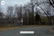
Hello, I'm wondering if anyone has been to gun club lake ice fishing. It's located below the 494 bridge toward eagan on the south east side. I have caught decent sunfish open water. The Dnr website does not give much information about it. It's a walk from hwy 13 down the trail to the lake. Anyone...

fishingminnesota.com
"... It gets heavily weeded during late Spring through out the Summer and can make fishing impossible from shore.
There are some nice pannies to be had, the north side the lake is shallow where the culvert exits. The South side does have some deeper water.
Because its gets flooded occasionally from the MN river it can have a mix bag of species of fish.
Where the inlet that flows to and exits to the culvert you can catch pannies. Thats probably the best spot. I may have thrown out a humminbird smartcast to measure the depth at one time. Could be 15fow or deeper I dont exactly remember. Then again I could be wrong.
...
There is also springs that flow into it I think so be careful of thin ice.
I never fish down there without the buddy system as there can be some shady folks lurking the area. Safety should be your first concern.
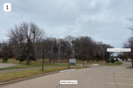
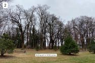
Either way its a really far walk to fish during the open water, I figure dragging all that equipment with you be exhausting so I have avoided it in the winter. To be honest I dont think its worth it but that just my 2 cents.
Plus parking under the bridge have resulted in cars being broken into by thieves. So there's alway a risk."