HmmMysterious
Well-Known Member
- Joined
- Dec 30, 2021
- Messages
- 1,487
- Reaction score
- 7,618
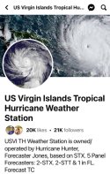
Concerning, please keep an eye on future BERYL
According to the NHC, a tropical depression or tropical storm will likely form this weekend several hundred miles east of the Windward Islands.
Mike's Weather Page... powered by Firman Power Equipment!