I tried to
map AK's likely trek path from his drop off (I am presuming at
Trail Bay, as it seems to match the image from
Next Trekking Adventure on FB - they dropped AK off on 9/14/2024) to
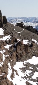
Eagle Pass (unlabeled, but east of
Eagle Peak). Eagle Pass is where the marked
Mountain Creek Trail ends. Folks who summit Eagle Peak forge the ridge and then switchbacks from Eagle Pass without trail markings. That would be extra treacherous and difficult to find in the fog / dark or snow cover.
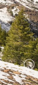
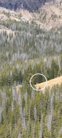
If AK made it down from Eagle Peak Summit on 9/17 (or morning of 9/18 if he chose to bivouac in place (cave) near the summit), it is possible in the dark (9/17 night) or in the snow (9/18 am) he missed Mountain Creek Trail back to his
campsite at 6D8. So I circled in
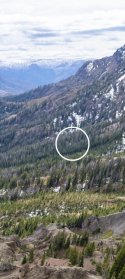
red the areas below tree line where AK could have gotten lost and may still be.
The one thing I noticed while using this satellite map, is there is no way back to Yellowstone Lake to the North. The range that includes Eagle Peak just keeps going. If he got lost, I just hope he has a compass to keep his bearing.
This is of course elementary to SAR or NPS rangers. I am sharing this more to help anyone here.
View attachment 534666


")